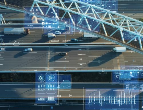
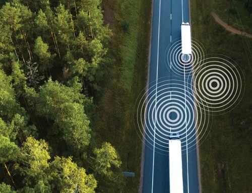
GPS Tracking has come a long way since its first release. When it first emerged and started gaining popularity and use, Maps were static, and so were objects such as vehicles. In a sense, Live GPS tracking was not live during its first few iterations. When Animated mapping became available, this feature changed the game. Vehicles representation was no longer purely static images. Positions are reported at a higher rate with active tracking, allowing for active animation for the vehicles as they move.
Guardian SEA GPS Tracking And Features
Guardian SEA GPS tracking in its current form is one of the most advanced in the industry. The technology behind the development of its current iteration is complicated; however, we can look at some of the features, the technology behind each aspect and what makes it work seamlessly.
For the animation to work flawlessly, several things must occur both on the hardware and software sides. Data received from the vehicle goes through the cellular network and then on to the Guardian SEA server. Once the data reaches the Guardian SEA servers, the data is processed, and our advanced algorithms check and sort more than just location information. The algorithms sort key data such as speed and driving behaviours such as harsh cornering, braking or aggressive driving. The information is processed, then data is transferred to the web browser, where it is animated, and the relevant event information is categorized appropriately.
![]()
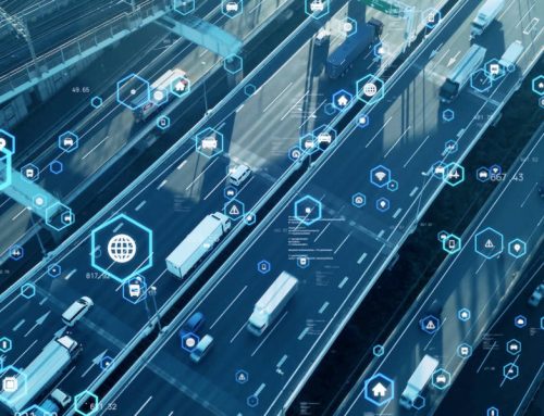
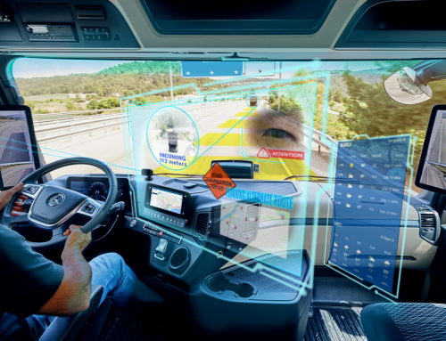
For the render of the animation to be seamless in case of delays due to cellular limitations, Guardian SEA algorithms employ two different methods in the rendering process. All vehicles initially start with a 15-second animation-delay so that it syncs when the data arrives for accuracy. The delay is adjusted based on the signal received during the trip in progress for the location to remain as accurate as possible. Additional info is also provided to the fleet manager when hovering the cursor on the vehicle. Information such as speed and other details such as specific location and the speed limit of the road it is currently at can be useful as this can provide immediate info to dispatchers and fleet managers to take action in realtime and in case a vehicle violates the speed limit.
Live Vehicle Tracking And Its Advantages
Traditional static maps and tracking were very limited. While it provides information such as the location, there are several advantages that current GPS tracking can provide that were not available during the early days of GPS tracking. One benefit of current-gen GPS tracking provided by Guardian SEA is how it can assist the dispatcher or fleet manager in gaining insights into more than just the current location of the vehicles in the fleet. An example would be how the vehicle executes a turn. Suppose the GPS tracking shows that the vehicle performs a turn without any speed reduction. In that case, it can alert the dispatcher or fleet manager looking at the map in real-time that the vehicle’s driver has terrible driving behaviour. This information is available on the speed profile of the vehicle for review. Another advantage of having a live visual representation of the vehicle’s progress is that it allows the dispatcher or fleet manager to see any changes in vehicle speed, slowdowns, and idling information. The dispatcher needs important data to gain insights on possible issues such as bad road conditions or adverse weather that can affect delivery times. Improved accuracy on ETA is crucial as this information can be helpful to the customer.
Live vehicle tracking technology is complicated. Guardian SEA GPS tracking system is one of the most advanced in the industry. The technology that went into the development of this feature is useful as this provides the most accurate data possible to assist a fleet manager in optimizing the management of the fleet and help dispatchers in their work.